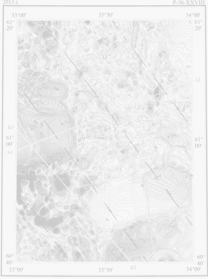
Geophysical support of regional geological mapping and metallogenic studies
Services and expertise / Geophysical support of regional geological mapping and metallogenic studies
Main goals:
Creation of geophysical base-maps for geological mapping (scale 1:50000 – 1:200 000);
Verification (elaboration) of geological structures based on geophysical data;
Geological & geophysical deep structure modelling of the study area;
Identification of geophysical attributes of metallogenic zones and mineral and hydrocarbon occurrences and deposits.
Approaches:
Compilation of historical geological, geochemical, geophysical and remote sensing data;
External and internal stitching different grids (for each geophysical field) which characterized by different survey parameters, data quality and sample densities;
Local conducting basic geologic, geophysical, and geochemical studies to better understand the regional geologic framework that controls mineral resource occurrence in study area;
Complex analysis of both geological & geophysical data, their processing, inversion and interpretation using GIS technology and geological & geophysical 3D modelling.
Геофизические исследовани
Мы выполняем следующие виды полевых геофизических работ: